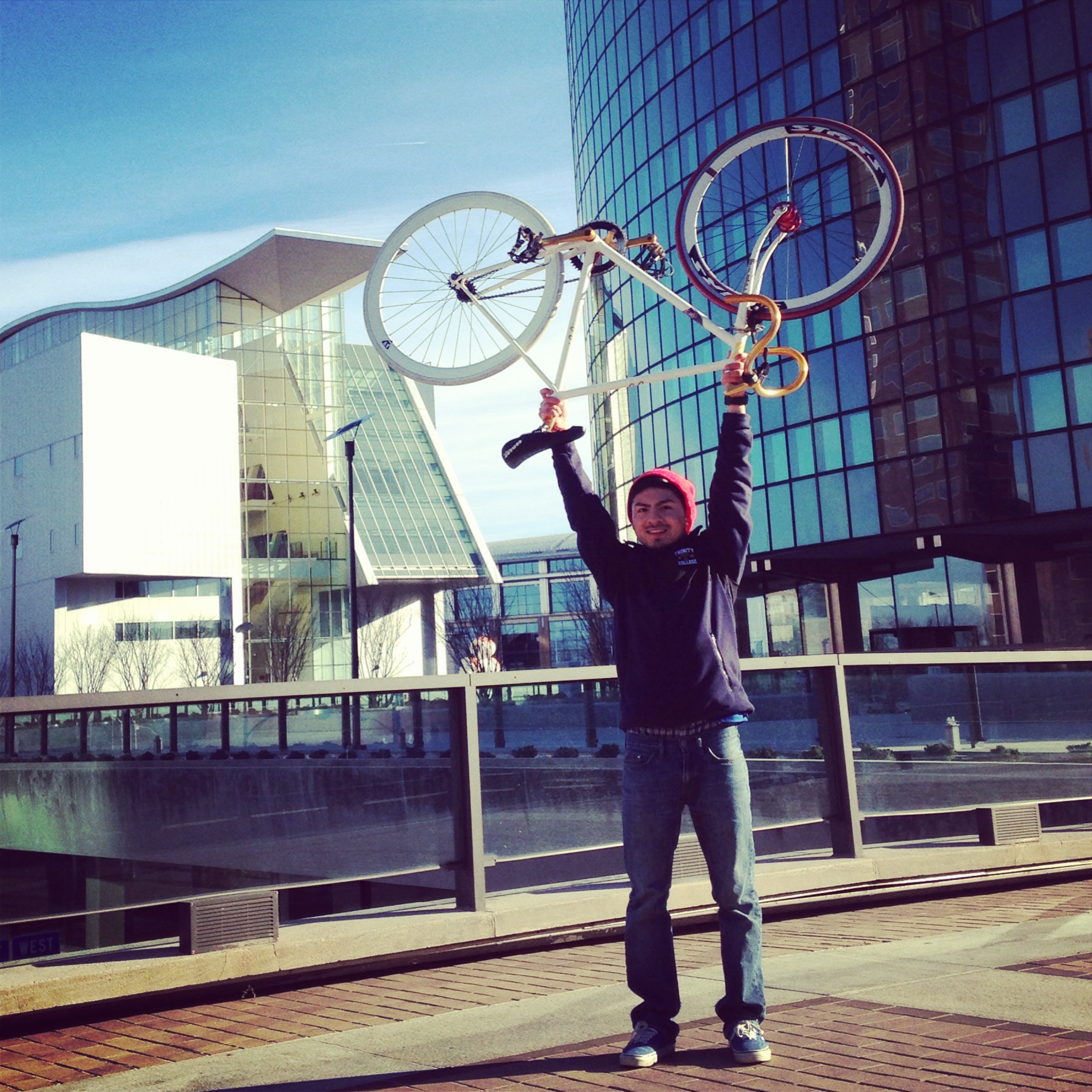
By guest blogger Alex Perez (’17)
This semester, my independent study with Professor Cameron Douglass was based on creating a bike map for the city of Hartford. When I first arrived to Hartford and began biking around, I realized that there were a lack of bike lanes in the city, which made me not feel safe riding. Therefore, when Professor Douglass first told me about the opportunity to create the map, I was excited to work with him.
We created the map using ArcGIS, which I knew nothing about at first, but Professor Douglass was very helpful in teaching me how to use the program. Using ArcGIS, we developed a preliminary map (check it out here) with four different layers: one for existing bike lanes, one for additional bike lanes that would connect the existing lanes with each another, one for primary bike routes through Hartford, and another for routes outside the city.
I have really enjoyed working with Professor Douglass this semester to create a friendlier cycling environment for Hartford’s residents and visitors. In collaboration with other local transportation advocacy groups and colleagues at Trinity we hope to further advance this project by refining the current bike map and making it widely available to the public via the web. Ultimately, our goal is that individuals would be able to update and access the map on paper, on the web, and on mobile devices.