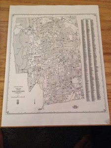
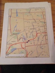
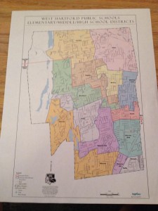
I had my first meeting with my partnership coordinator, Julia Rusert this week. Julia and I began figuring out where a good starting point is and what I can begin working on. Julia had a student who did some asset mapping of preschool and day care centers last year and so we discussed my making an asset map of other resources such as health care providers, mental health providers, and family resource centers.
Julia also mentioned that Jack is doing the mapping for children who have had the Early Development Instrument done on them and thought it would be helpful if I learned more about that on their website:
http://www.offordcentre.com/readiness/EDI_factsheet.html
My initial thoughts were that batchgeo maps will be very useful for these projects, however, as Julia and I discussed, Great by 8 does not have any data to be able to make such maps yet. Therefore I am beginning to gather data that could potentially be useful. Julia gave me a couple different maps that outline West Hartford for me to begin. Julia suggested that I begin looking for census tracks and census block groups.
My goals this week are to look into and research the location of these resources that are useful, such as pediatric practices and dental locations in West Hartford.
The final goal is to hopefully be able to have one map that overlays all these services with areas of need.


Katie, you’re making progress with the types of source data available for your data viz project, and you should schedule an appointment with me to discuss details about the Early Childhood Data that I’m working on for a related project.
As you move forward, it would be ideal for you to sketch out or create mock-ups of the type of dataviz that you and your partner have in mind, and to use some of the design vocab from our DataViz book. For example, if you want to show locations of pediatric practices, would those be points or polygons? Would they be a separate layer from the children’s locations? Does this need to be a searchable map?