Yep, this title makes more sense when you hear me say it. Just imagine a thick German accent!

Horsecollar Ruins in Natural Bridges N.M.
We left early to visit Natural Bridges National Monument. We got there just at 8 AM to use their bathrooms and steer some business to the visitor center’s gift shop. Afterwards Christoph dropped the group off at the Sipapu Bridge trailhead. As soon as the last student had disappeared into the canyon he turned that van around and headed to the next Starbucks – yeah, not quite. A quick visit to the Starbucks website showed that the closest store would have been back in Moab. So, he went to the Kachina Bridge trailhead and picked up the crew after a short hike through the canyons.

Kachina Bridge
Next we headed south towards Muley Point, one of our favorite viewpoints in the region. Unfortunately the weather was too bad, and Allen not quite up to the task of driving on a very slippery dirt road in drizzling rain.

The view from the Moki dugway. The name probably comes from “Moqui”, the Spanish name for the nearby Hopi tribe.
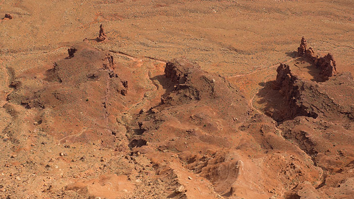
The view wouldn’t have been that great anyway, so we turned around and drove down the Moki dugway, an impressive couple of miles that go pretty much nowhere, except straight down (or up). We had lunch at the Goosenecks where we admired the incised meanders and talked with the ranger in the ticket booth about the dirt road out to the Honaker Trail trailhead. He was pretty much clueless.

The goosenecks of the San Juan.
Luckily the description in our guidebook was spot-on, Allen enjoyed the improved dirt road and took us even closer to the trailhead than the book suggested. It had begun to rain again, and we hiked the first mile or so in a steady drizzle.

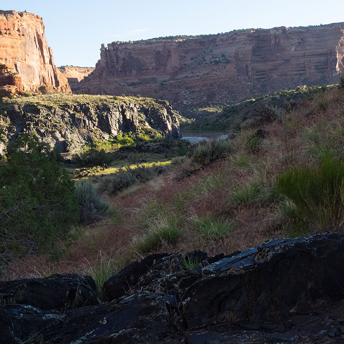
At the beginning of the Honaker Trail.
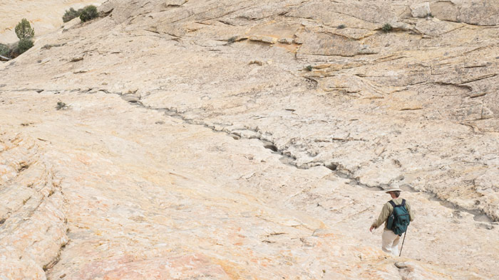
After a mile across the sagebrush we arrived at the canyon rim. A small cairn indicated the trailhead, but it was far from obvious how we would reach the San Juan, approximately 1300 ft below us. The canyon walls seemed pretty much vertical. Nevertheless, there was a trail, the guidebook assured us that it would be a piece of cake, and down we went.

Adam and Christopher trying to give Joan a heart attack halfway down the canyon.

Almost down by the river.
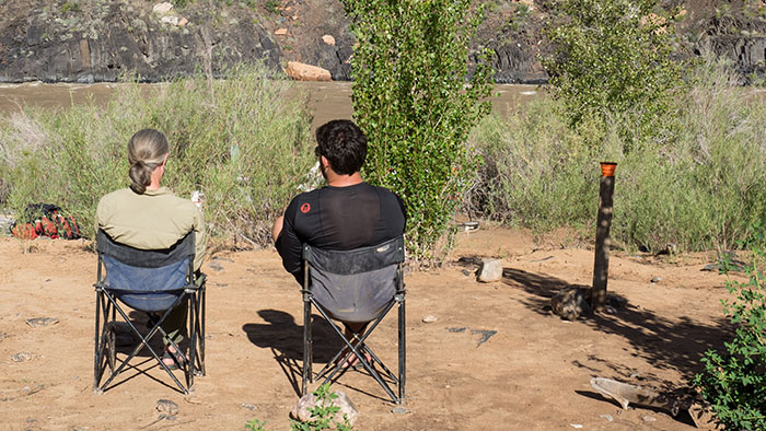
The trail was pretty easy. It consisted of short, steep sections through breaks in the cliff-forming rocks that were connected through long, gently sloping switchbacks in the slope-building weaker sediments. It took about 90 minutes to get down and less than that to get back up to the canyon rim (fewer photo stops).

The canyon of the San Juan river.
In the meantime it had even stopped raining, and after an exciting hike we arrived back on top of the canyon and could see Allen waiting for us in the distance.

Allen on the horizon.
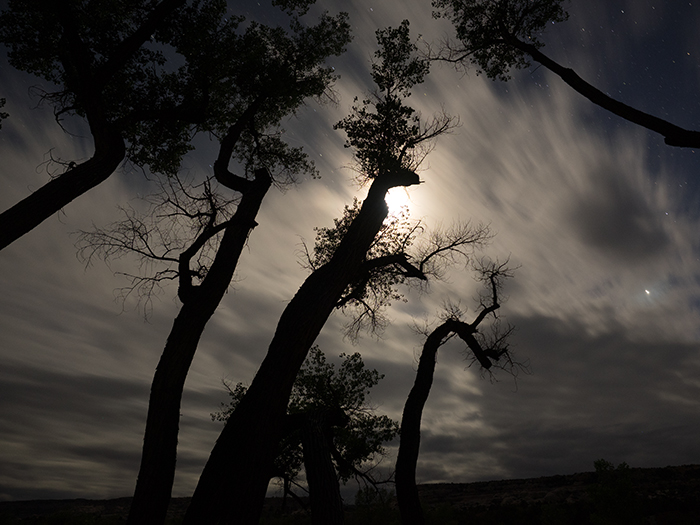
Comb Wash at night.
From here we briefly stopped at the Sand Island petroglyph panels and had showers in Bluff before we returned to Comb Wash for a rather late dinner under the cottonwoods.
back to Day 5
onward to Day 7