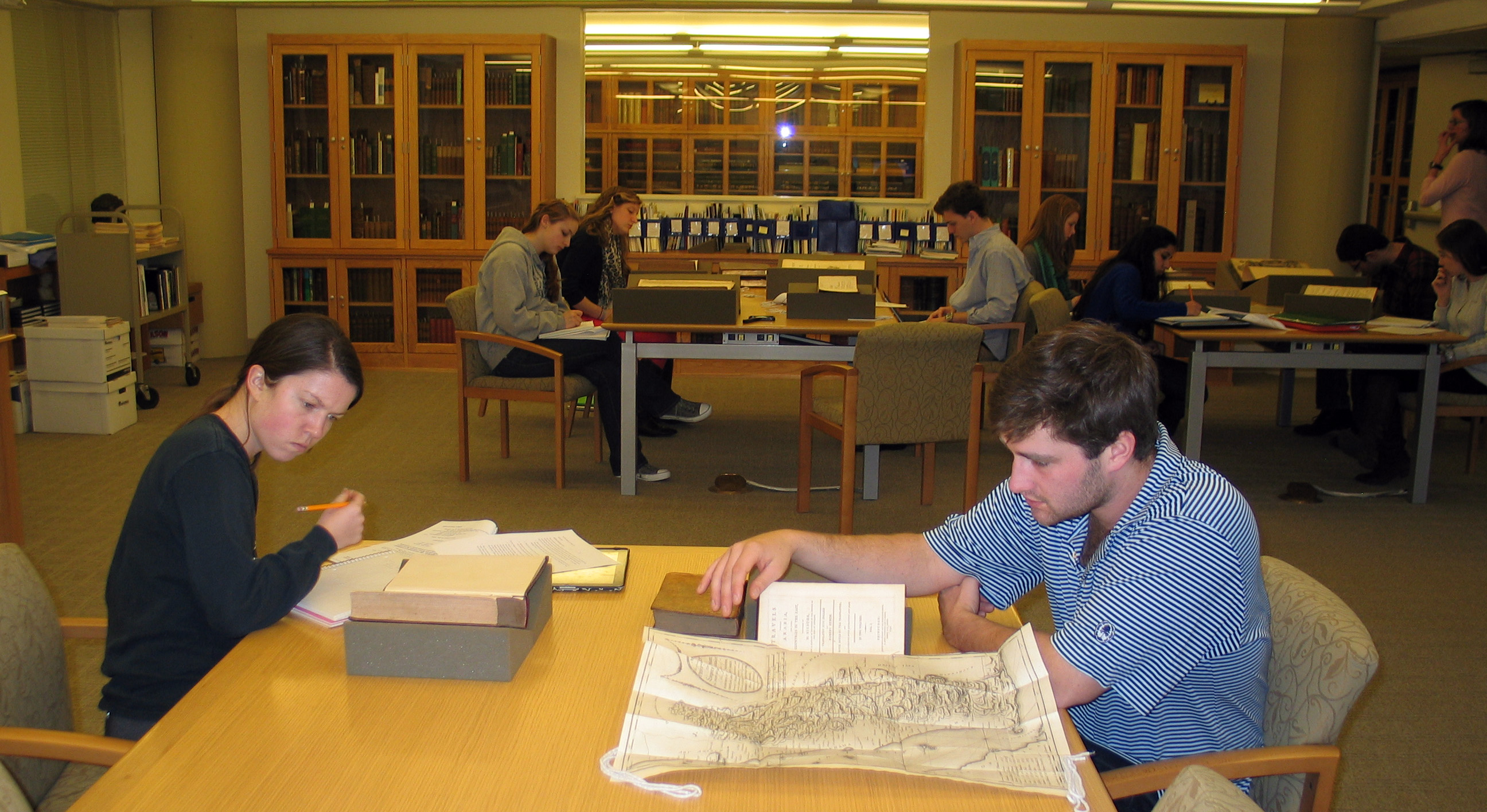
 Several days ago we hosted professor Zayde Antrim’s “Mapping the Middle East” class. The students pick a historical atlas and answer a questionnaire about aspects of what they see. Here is the course description:
“This course approaches the history of the Middle East through maps. It will look at the many different ways maps have told the story of the territory we now call the Middle East and the many different points of view that have defined it as a geographical entity. Readings will analyze maps as social constructions and will place mapmaking and map-use in a historical context. We will relate maps to questions of empire, colonialism, war and peace, nationalism, and environmental change.”
This entry was posted
on Friday, March 1st, 2013 at 5:32 pm and is filed under Classes, Uncategorized.
You can follow any responses to this entry through the RSS 2.0 feed.
Both comments and pings are currently closed.